Weekly Rundown

Well, damn, I don’t really have much to say about this past week. Left Alaska, and am taking a roundabout journey through the country. Had to fly to get from Ketchikan to the lower 48, and rather than risk quarantine with family, where someone I know could come in contact with something I may have contracted on the plane, it was better to take my time.

I haven’t seen much. Some snowy mountains outside of Colorado, and some rolling hills. I would have liked to have spent more time in Arizona. It seemed nice passing through.

Not sure what I’ll see or do over the next three weeks, but I’m hoping I’ll have some interesting updates… maybe by next week.

Travels in quarantine

For the first time in my history of air travel, the airports looked empty. The flights were sparsely peopled, and I’d think there were more employees than travelers.

I, like most everyone else, am curious to see the new world. The world of travel, and work, and leisure. When the world reopens, sometime in the future, it’ll be greatly interesting.

Weekly Rundown

All about Ketchikan, Volume 5.

The Tongass National Forest:

2E3ACAC0-7136-4AA0-A9C2-A1657CA9359C
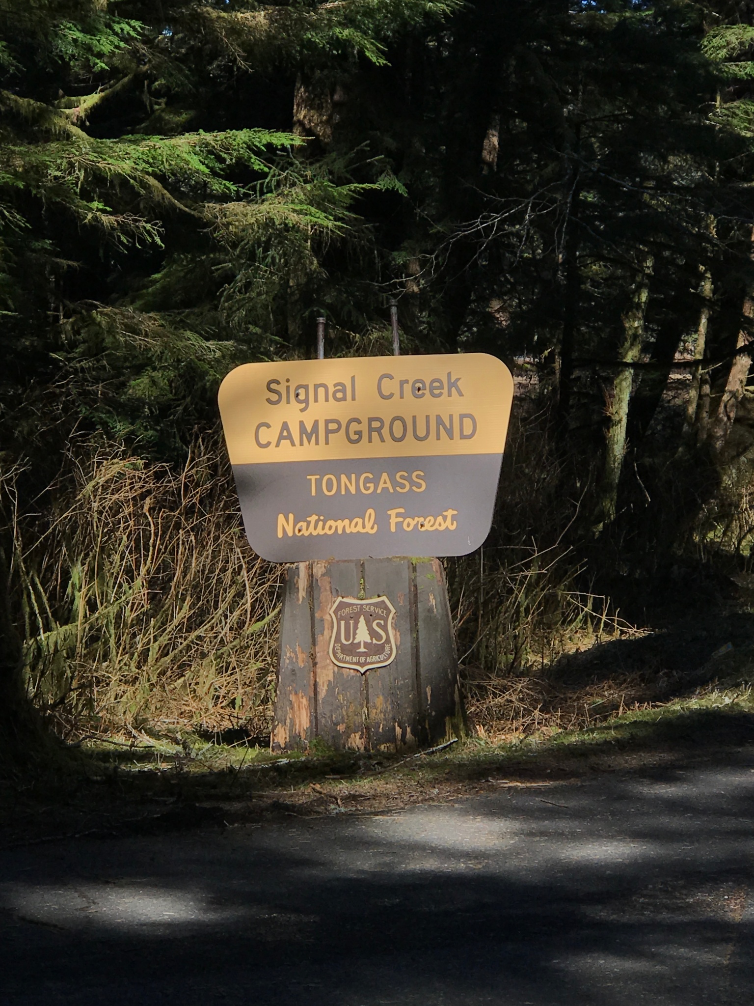
Sign for Signal Creek Campground at Ward Lake, in Tongass

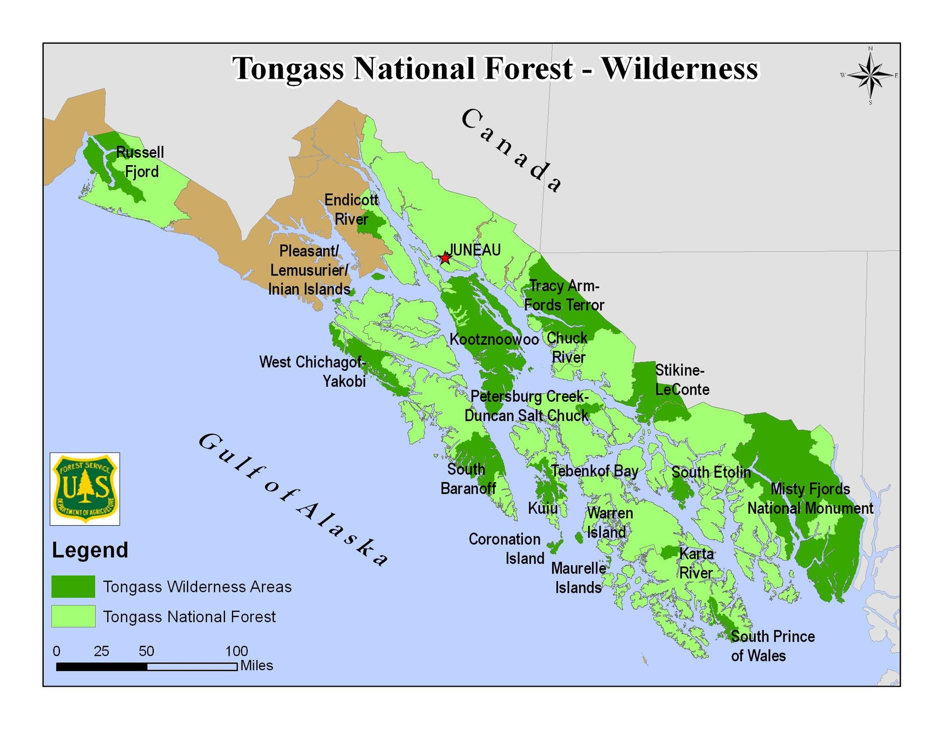
Tongass is the largest National Forest in the US and covers most of the Southeast of Alaska. Seventeen million acres, to be nearly exact.

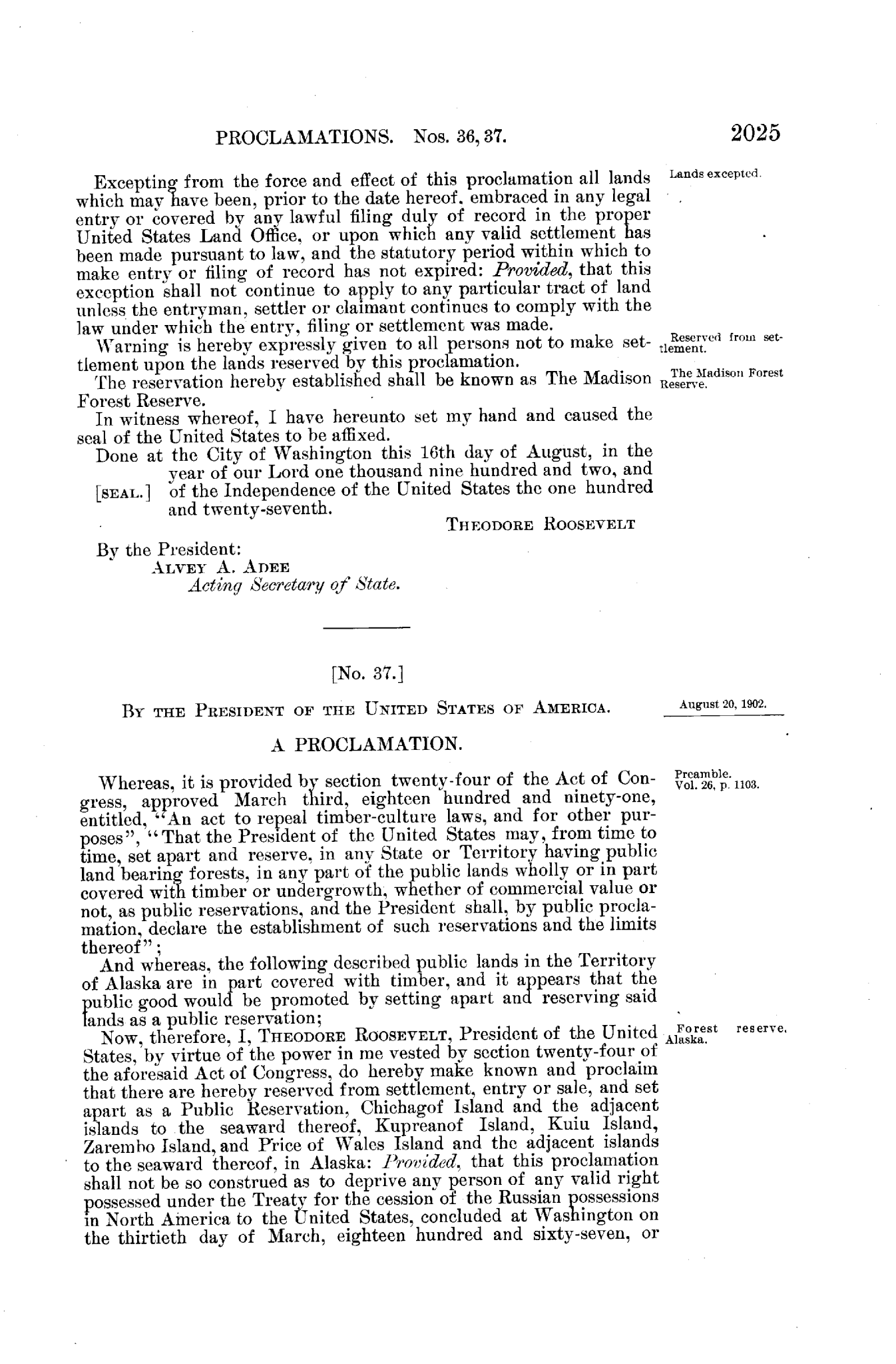
The Tongass National Forest stretches about 500 miles along the SE Alaska coast covering an area equal in size to Vermont, Massachusetts, Connecticut, and Rhode Island. It was designated a national forest on September 10, 1907, by proclamation of the President, Teddy Roosevelt.

image

Tongass is the point of some controversy recently, in the question of whether to allow logging in some of its areas. Today it is home to two national monuments (Misty Fjords and Admiralty Island) and nineteen designated wilderness areas. Which is part of a larger question of ecology vs. economy: how do you decide what’s of value?

Environmentalist (and huge Alaska fan) John Muir noted as he watched federally protected lands across the U.S. come under threat, “Nothing dollarable is safe.” And that is a conundrum that has faced man since the industrial age. What portion of land needs be preserved and what should be developed?

Sitting here, in Southeast Alaska, I’m glad there is still wilderness outside the door. In this country of ours. People from around the world come here in hoards to see Wild Alaska. Not this summer, maybe. But other summers, those in the past. And next summer, I estimate the largest tourist season yet here.

1920px-Tongass_NF_-_map_of_wilderness_areas


Weekly Rundown

All about Ketchikan, Volume 4.

There are three groups of native people who live in this area, in and around Ketchikan, Metlakatla, and on several other islands here in the Alexander Archipelago.

“The Tsimshian were relatively late arrivals to Southeast Alaska. For thousands of years, the islands of the Alexander Archipelago had been primarily the territory of the Tlingit [prounounced clink-it]. (A third group, the Haida, arrived from the south in the eighteenth century. … Tlingit society at the start of the nineteenth century was made up of approximately sixteen tribes, called kwaan.” – Mark Adams, A Tip of the Iceberg.

“The Tlingit, originally fourteen tribes, spoke a language related to the Athabascan Indians of the interior and occupies the coast of Alaska from Yakutat Bay down to the Prince of Wales Island. Ther were pushing the Eskimo off Kayak Island in the beginning of European contacts and had begun to enter the Copper River.

The Haida, who spoke a similar language, yet one which differed somewhat from that of the Tlingit, lived on the coastal areas of the Queen Charlotte Island and the southern part of the Prince of Wales Island in Alaska.

The Tsimshian lives on the mainland from the Nass to the Skeena River and down to the area which is the modern city of Prince Rupert.” – H.R. Hays,  Children of the Raven

These are the three native nations of Southeast Alaska. Two others – the Inuit, to the North, and the Aleuts, to the West – call Alaska home. The common belief is that native populations of Alaska (and the rest of the Americas) arrived across a landbridge.

“The easiest way to get here is on foot. The Bering Land Bridge has been the longstanding theory because that’s the clearest connection between Asia and North America, up in the Arctic, and it only appears when ice is locked up on land and sea levels drop. It’s the only place where you could walk from one side to the other.” – National Geographic
 

Weekly Rundown

All about Ketchikan, Volume 3.

Alaska, like much of the Country, has pretty much shut down. Bars, restaurants, the company I was working for. However, I’m fortunate to have a number of trails to explore within walking distance.

Rainbird Trail: Scenic views and a hilly wooded path, this two-and-a-half-mile walk provides a look at the Tongass Narrows and Gravina and Pennock Islands. While moving through the forest, there is a selection of spruce, cedar, hemlock, and pine trees to observe in their tree-fulness.

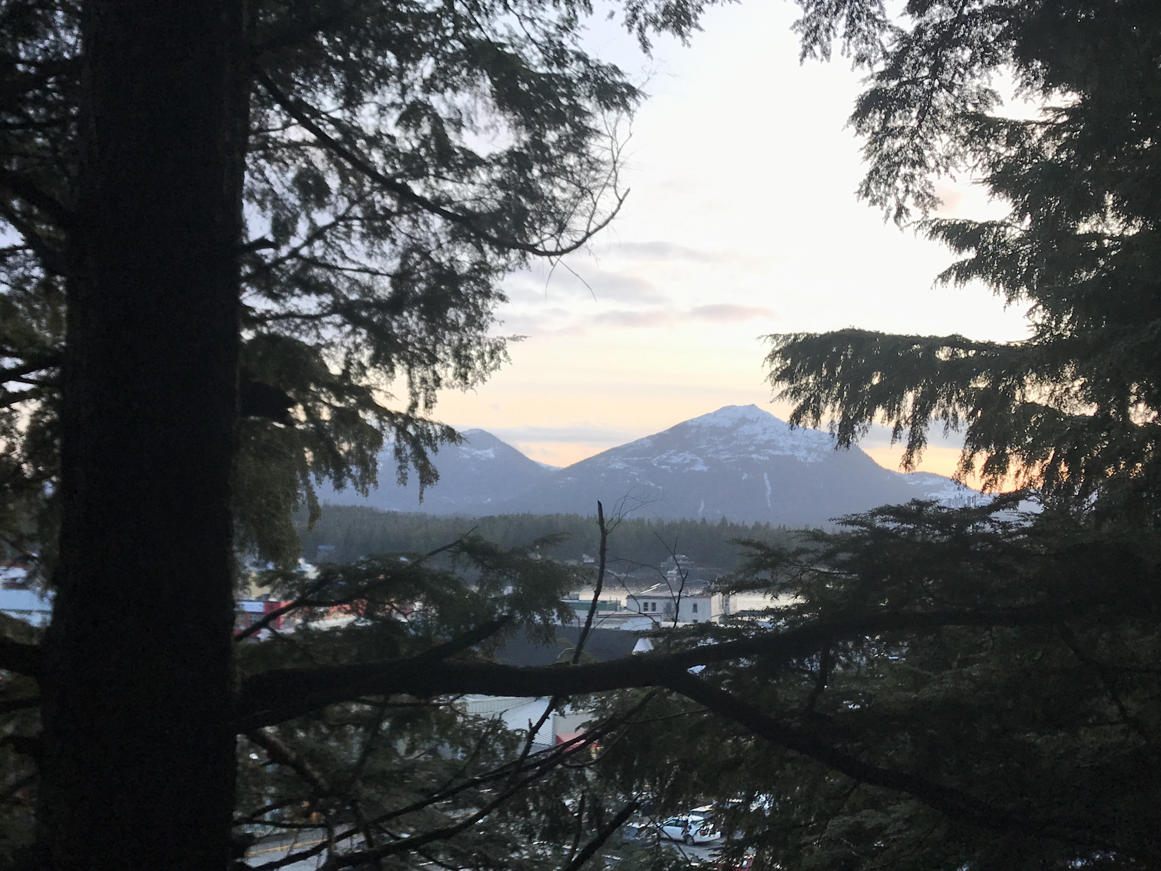
Rainbird View
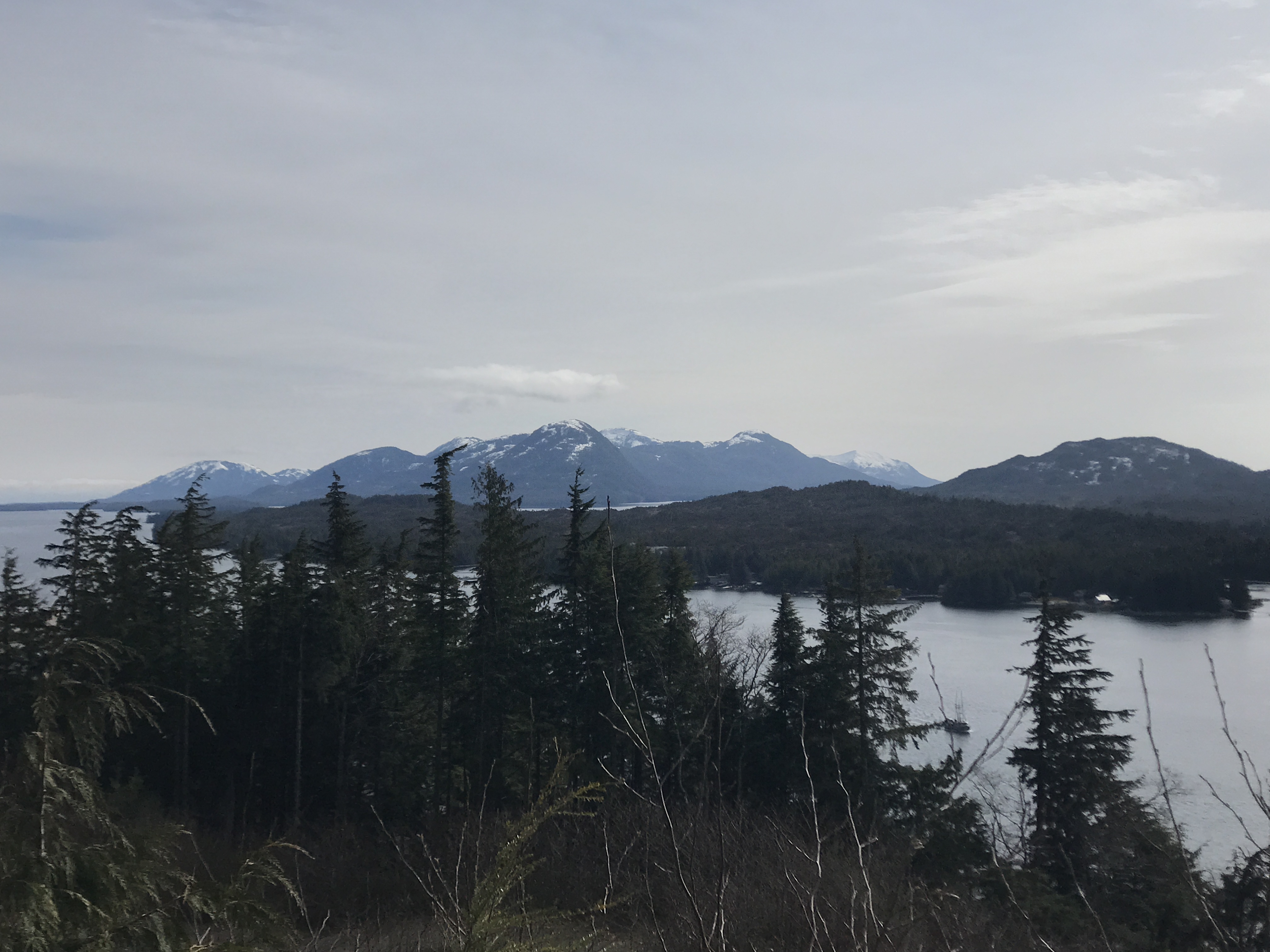
View from Rainbird Trail overlook spot

Deer Mountain Trail: A significantly more strenuous hike than Rainbird, and currently covered in snow at an elevation of about one mile from the base, it only went part of the way up. Deer Mountain is described as “Ketchikan’s iconic and idyllic backdrop.

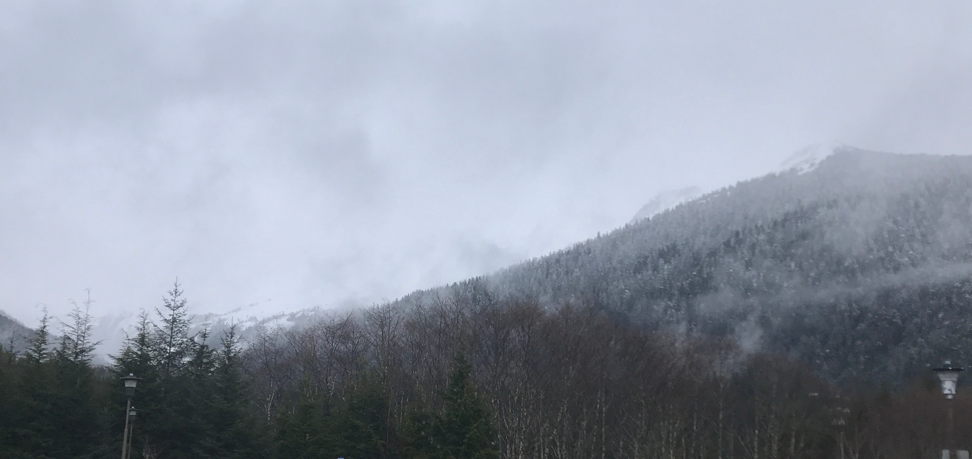
Deer Mountain in cloudy weather
A view up from the base of Deer Mountain

Deer Mountain Clearing
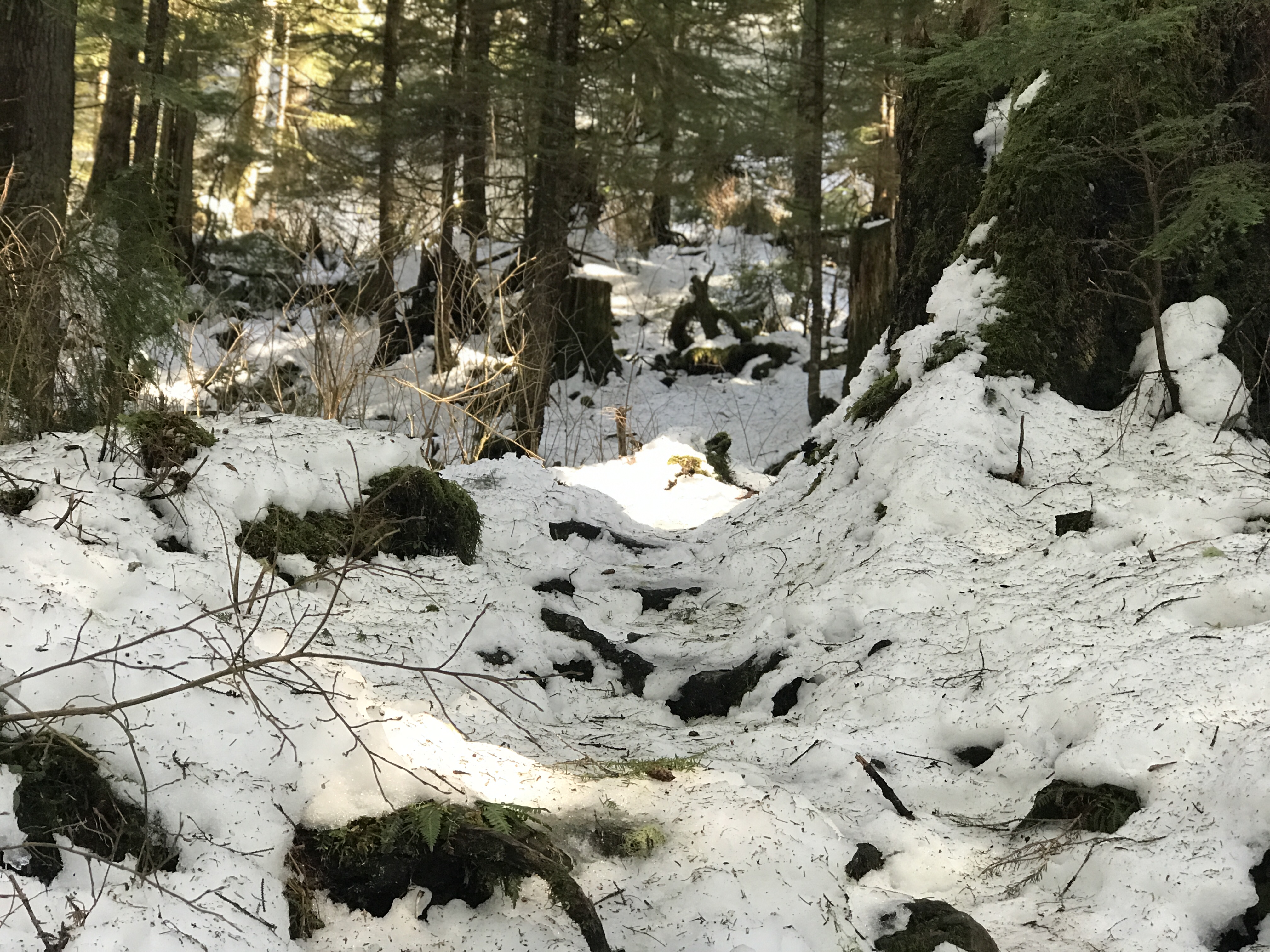
Snowy pass up the Deer Mountain Trail

Several other locations are within driving distance (only some 30 miles of highway move up the Western coast of Revilla Island), and these include Carlanna Lake Trail, Ward Lake and Perseverance Lake Trail, and the Coast Guard Beach Trail.

I only briefly headed down to Ward Lake, but anticipate further hiking over the weekend. The weather has turned sunny, while still hovering between thirty and forty degrees Fahrenheit.

Weekly Rundown

All about Ketchikan, Volume Two.

The history of Ketchikan is closely tied to fishing. As I mentioned last week, the Kadjuck Tlingits made summer fishing camps along the coast of this island at the Tongass Narrows. But it was in 1883 that a salmon saltery (fish packaging operation) was established. This saltery, started by Mike Martin, was the first such business in place.

In 1885, Loring cannery opened its doors; in 1887, the Tongass Packing Company built its cannery; other immigrants began to open businesses, and in 1900, on August the 25th, the City of Ketchikan was incorporated with a population of 459 residents.

Southeast Alaska is one of the great breeding grounds for all species of the Pacific Salmon. There are about 1,100 islands that make up the Alexander Archipelago, which themselves have steep inland ranges and streams (aided by the about 150 inches of rainfall each year). All these factors contribute to the returning salmon runs, some with upwards of one million fish!

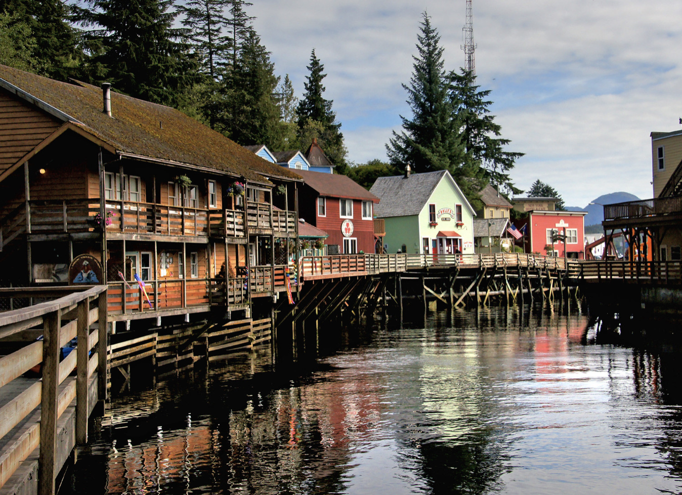
During the mid-to-late summer, salmon can be seen running over the falls and fish ladder at Creek Street, right through Downtown Ketchikan.

Creek Street

Weekly Rundown

All about Ketchikan, Volume One.

Well, Covid seems to be playing havoc with my work schedule. I might as well post some information that you might find interesting.

The City of Ketchikan, AK sits on Revillagigedo Island, which is about 89 km (50 mi) long from north to south and 48 km (35 mi) wide from east to west, making it the 12th largest island in the United States and the 167th largest island in the world.

The island is separated from the Alaska mainland to the east by Behm Canal, from Prince of Wales Island to the west by the Clarence Strait, and from Annette Island to the south by Revillagigedo Channel and Nichols Passage.¹

There are two cities on the Island, Ketchikan and Saxman. The name Ketchikan was chosen as the creek which flows through town is Ketchikan Creek. It was named for Kitsch, a Tlingit native who claimed the section of creek for fishing. Kitsch-hen was anglicized to Ketchikan, as the Tlingit didn’t have a formal written language. Hen translates to creek, and Kitsch to “the thundering wings of an eagle”.² Aptly, bald eagles fly and nest along the coast up and down the Southwestern shore.

The other city, Saxman, is famous for its totem poles. It has the largest collection of standing poles in the world, which is impressive as the Saxman is only one square mile.³ Many of Saxman’s totems were apparently stolen in the late 1800s during the Harriman Expedition, which I’m currently researching.

Chief Kashakes House in Saxman

  1. https://en.wikipedia.org/wiki/Revillagigedo_Island
  2. http://www.firstalaskacruise.com/ketchikan-historical-highlights.html
  3. https://alaskatrekker.com/places-go/saxman-alaska/

Travel, banned

The world is feeling a little smaller right now. I’m currently sequestered on Revilla Island with two weeks off. I’m about to trek out into the interior and explore some of the trails at my disposal.

I had the option to fly out for two weeks but, in an abundance of caution, I opted to stay put.

At this time when all we know is that very little is certain, it’s better to ere on the side of caution rather than risk

The capital

What’s the capital in Alaska?

A!

Just a silly joke.

Here’s another:

A couple of hikers were prepping for their trek through Denali. At the outfitters, they were given bells and colored ribbons. Inquiring as to their purpose, they were told, “the bells are good at keeping black bears away. Do you know how to identify the bears from their droppings?”

Another hiker leaned over and whispered, “Black bear manure has berries in it. Kodiaks’ will have bells and colored ribbons.”

A new podcast to binge

Tuned into this podcast completely by accident: The Wild with Chris Morgan. Pretty fabulous. I listened to two episodes, the first on our connection with animals and the second on what trees are telling us.

I recommend giving it a listen, and I’ll start a deep dive as I hike some of the Ketchikan trails in my off time. Today I walked Rainbird Trail. I’m waiting for the snow to thaw before I hike up Deer Mountain.

3680E402-2F4E-4603-AD15-648C8C9A0827