All about Ketchikan, Volume 5.
The Tongass National Forest:
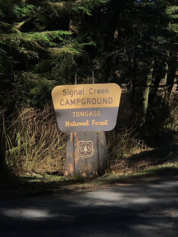
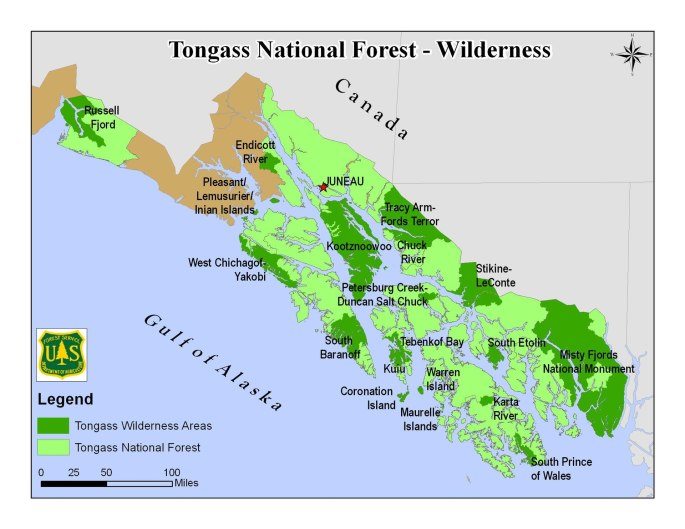
Tongass is the largest National Forest in the US and covers most of the Southeast of Alaska. Seventeen million acres, to be nearly exact.
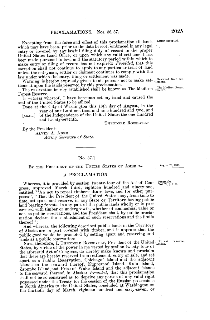
The Tongass National Forest stretches about 500 miles along the SE Alaska coast covering an area equal in size to Vermont, Massachusetts, Connecticut, and Rhode Island. It was designated a national forest on September 10, 1907, by proclamation of the President, Teddy Roosevelt.
Tongass is the point of some controversy recently, in the question of whether to allow logging in some of its areas. Today it is home to two national monuments (Misty Fjords and Admiralty Island) and nineteen designated wilderness areas. Which is part of a larger question of ecology vs. economy: how do you decide what’s of value?
Environmentalist (and huge Alaska fan) John Muir noted as he watched federally protected lands across the U.S. come under threat, “Nothing dollarable is safe.” And that is a conundrum that has faced man since the industrial age. What portion of land needs be preserved and what should be developed?
Sitting here, in Southeast Alaska, I’m glad there is still wilderness outside the door. In this country of ours. People from around the world come here in hoards to see Wild Alaska. Not this summer, maybe. But other summers, those in the past. And next summer, I estimate the largest tourist season yet here.

One thought on “Weekly Rundown”